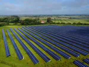
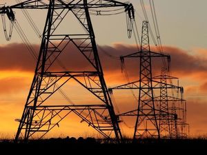
Shropshire from the sky: New perspective given by pictures snapped by drone
Aerial photography used to involve finding a volunteer to hang precariously from a helicopter.
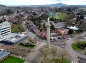
The arrival of drones has changed all that. It has allowed news organisations to literally get an instant new perspective.
And, as long as you are trained and licensed, it also enables anyone to experiment with images from several hundred feet up.
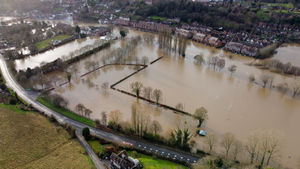
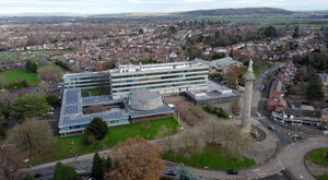
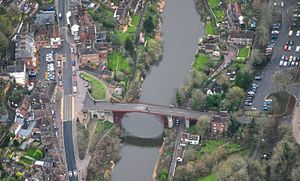
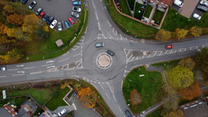
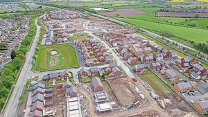
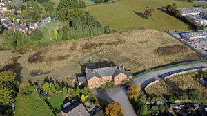
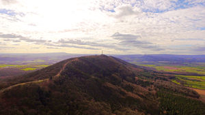
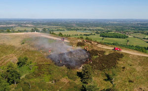
Today we feature some images of landmarks taken by drone. Many have been taken by our chief photographer Tim Thursfield and some have been submitted by readers over the year.
Tim, 50, has many years experience and has hopped on board a helicopter several times to take newspaper images.
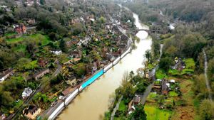
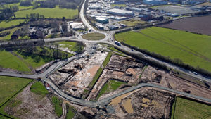
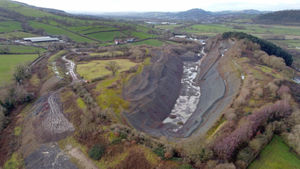
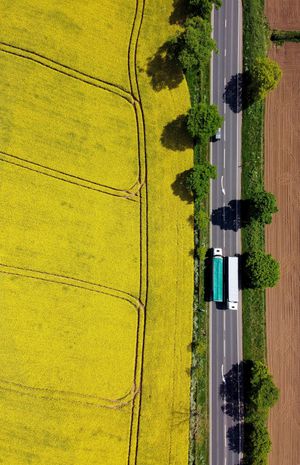
He said: “The drone has given us the option of getting a bird's-eye view on big events, landmarks or new buildings. You can also be creative. Looking directly down to the ground can provide an image that makes you look twice.
“The new technology has transformed photography just as it has film-making. And it is great fun to experiment with new techniques.”
