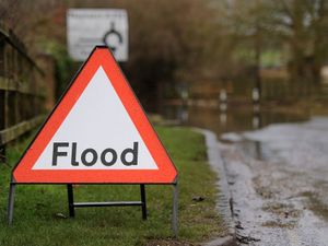
Latest Shropshire river levels and expected peaks amid warning Severn 'will get higher'
New expected river peaks have been issued as flood warnings in the county are updated amid a warning the Severn is set to "get higher still".
The Environment Agency has issued updates to their wave of flood warnings, as the river levels continue to rise with the onslaught of wet weather.
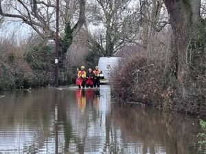
The high river levels have led to several road closures in Shrewsbury and Ironbridge,
As of 10.15am on Wednesday, the River Severn level at Welsh Bridge in Shrewsbury was at 4.23m, 1.5m above the top of the 'normal' range.
The predicted peak at Welsh Bridge is expected on Thursday morning between 4.5m and 4.9m. At its highest ever level recorded at the measuring statement, the river reached 5.25m in November 2000.
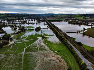
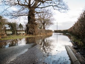
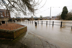
Flooding of property, roads and farmland is expected to continue. Gravel Hill Lane, Sydney Avenue, Frankwell car park and Victoria Avenue, the B5067, Berwick Road and St Julians Friars car park are currently flooded.
As of Wednesday morning, the River Severn level at Buildwas was at 5.6m, 2.2m above the top of the 'normal' range. At its highest ever level recorded at the measuring statement, the river reached 7.04m in November 2000.
It is expected to peak in Buildwas on Thursday afternoon between 5.9m and 6.2m. Flooding is expected to affect properties on Ferry Road.
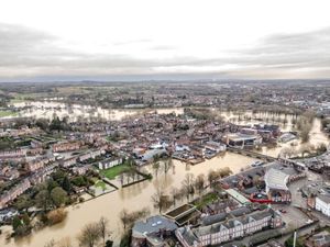
The Severn was at 4.55m on Wednesday morning at Bridgnorth, just under a metre above the top of the 'normal' range. At its highest ever level recorded at the measuring statement, the river reached 5.26m in November 2000.
It is expected to peak in Bridgnorth between 4.7m and 5m on Thursday afternoon. Flooding is expected to affect properties on Severnside.
The website states: "Further showers are forecast over the next 24 hours. We expect river levels to remain high for several days.
"We are closely monitoring the situation. Our incident response staff are checking defences.
"Please avoid using low lying footpaths near local watercourses and plan driving routes to avoid low lying roads near rivers, which may be flooded."
Explaining the situation, Dr Stacy Phillips, flood risk expert at the Environment Agency said: "Levels still high in Shrewsbury and rising due to recent rainfall.
"Here we can see the successive peaks but downstream there is a much broader drawn out peak as the volumes of water increase and more tributaries play their part in the already saturated catchment."
She also added: "With every downpour of rain more water is added to the system, so we've seen these pulses of water coming down the Severn, and levels will get higher still."
Shropshire flood warnings
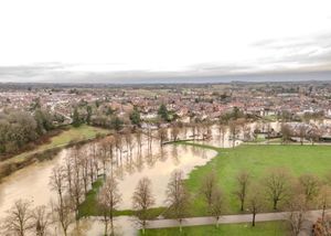
As of Wednesday mornings, flood warnings in Shropshire were at:
River Severn at Pentre
River Severn at Shrawardine, Montford Bridge and Mytton
River Severn at the Showground and The Quarry, Shrewsbury
River Severn at Shrewsbury
River Severn at the Wharfage, Ironbridge
River Severn at Bridgnorth
River Severn at Quatford
River Severn at Hampton Loade and Highley
River Vyrnwy at Maesbrook
River Vyrnwy at Melverley
In mid Wales there are also flood warnings along the River Severn at:
Buttington
Criggion area
Llandrinio area
Pool Quay area
Welshpool area
Flood alerts in Shropshire
Ledwyche Brook and River Rea
Rea Brook and Cound Brook
River Dee catchment in England from Whitchurch to Chester
Severn Vyrnwy confluence
Upper Teme
Other flood alerts are at the Lower Severyn catchment and Vyrnway catchments in Powys.

